Consistent site coverage
Agreed viewpoints and labeled site areas make each visit easier to compare with the last.
Recurring aerial photography and organized visual records. Clear views of your construction site, visit after visit.
Proposed service · Launch planned after FAA certification and operational setup.
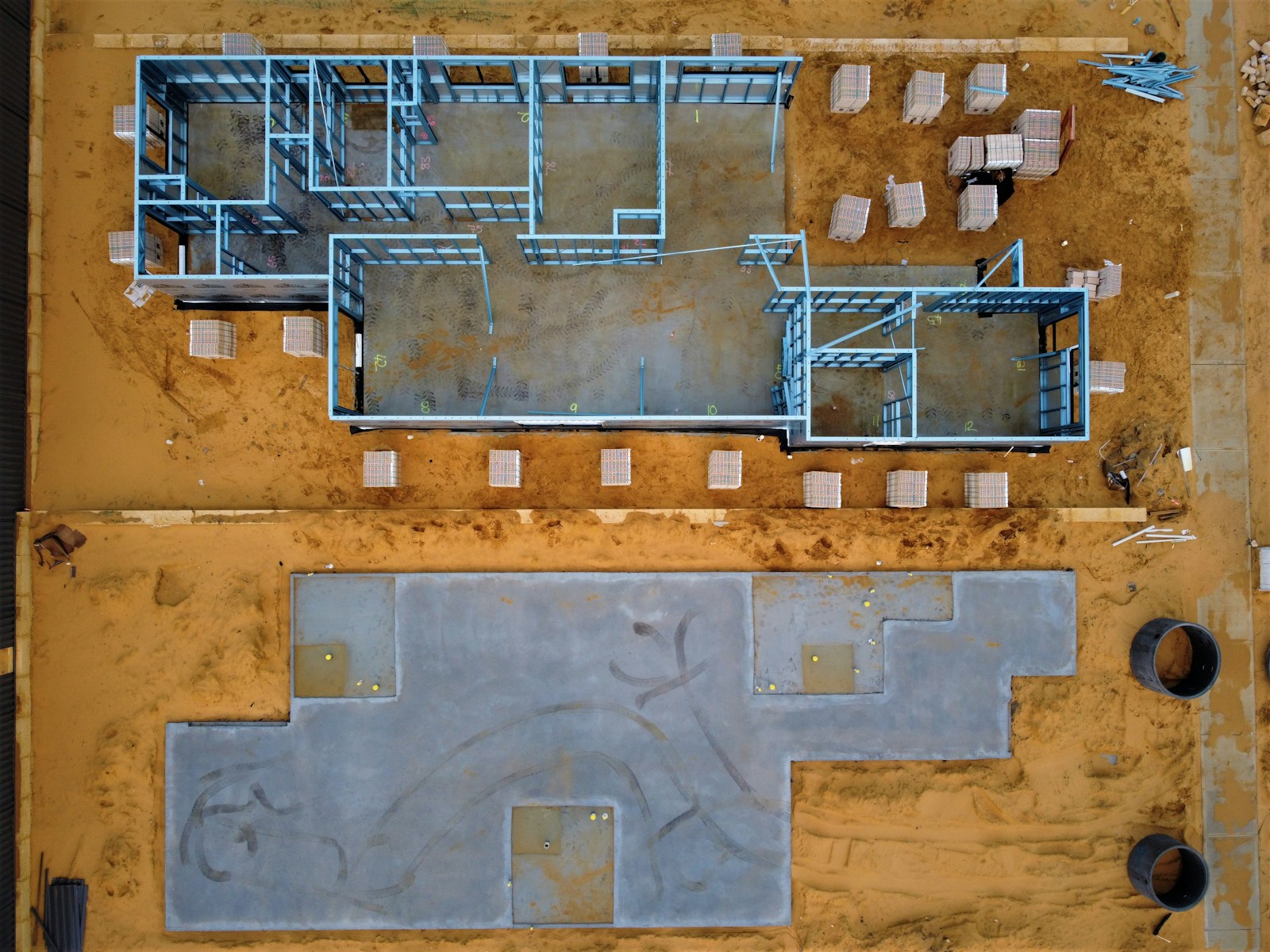
Examples of overhead coverage during construction. Simple labels let the photographs speak for themselves.
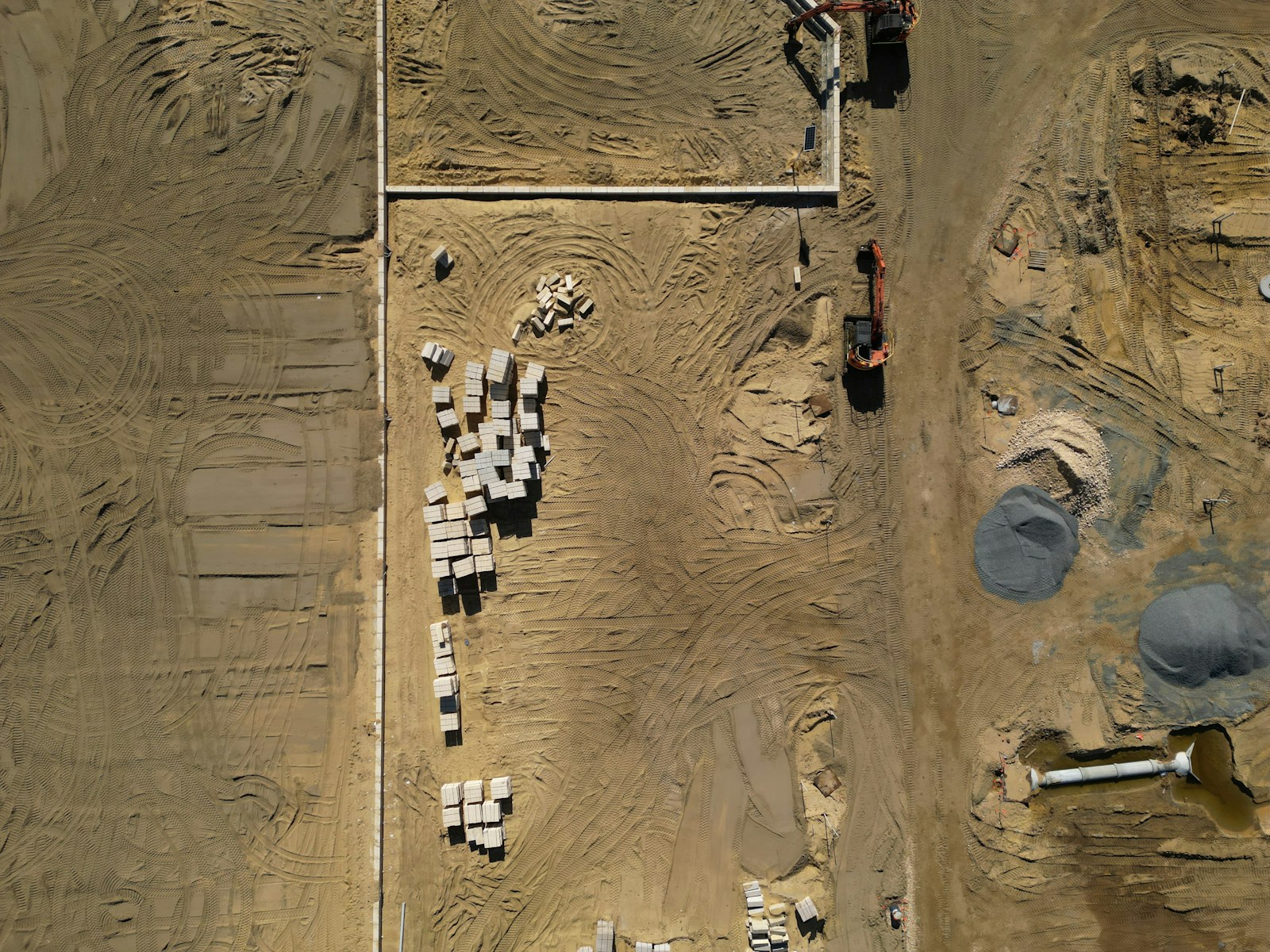
Licensed reference imagery showing two separate sites. These are not Elevated Sight Media projects or before-and-after comparisons. Client photography will be added as our portfolio develops.
A focused construction progress package for contractors, developers, and owners. Serving sites within approximately 45 minutes of Middletown, Connecticut; travel is confirmed when quoting.
Agreed viewpoints and labeled site areas make each visit easier to compare with the last.
Selected photos, dates, and clear filenames keep project updates accessible throughout the build.
A concise PDF brings the latest views and site photographs into one easy handoff.
EXAMPLE RESIDENTIAL PROJECT / VISIT 01
01 / Site overview
Clear views. Simple labels. Organized delivery.
Explore a three-page sample with real photographs from a small house-build sequence, plus the format for weekly or biweekly client delivery.
The PDF uses credited stills from a small house-build time-lapse at a fixed elevated viewpoint. These are not our projects, drone images, or weekly/biweekly captures.
Start with a one-month pilot: two scheduled site visits, approximately two weeks apart. Continue twice monthly if the service fits your team.
Agreed overview and detail viewpoints, labeled by site area and capture date. Repeat views where safe conditions and access permit.
A labeled overview, selected photos, and a simple view index. Matching views can be placed side by side after repeat visits. Full-resolution photos arrive in an organized private folder.
Target turnaround after each completed visit. Flight scheduling is subject to weather, airspace authorization, and site access; changes are coordinated with your contact.
Quoted per project. Pricing is based on site size, travel, access requirements, and agreed coverage. Pilot pricing and ongoing terms are confirmed before booking.
Launch planned after certification and operational setup. This package provides visual documentation only; surveying, quantity calculations, 3D mapping, engineering inspections, and completion certification are outside its scope. Video can be quoted separately.
Confirm the project, intended views, site permissions, and delivery schedule.
Return at agreed intervals, subject to safe conditions and site access.
Provide selected photos and a concise photo record through an agreed private delivery method.
Visual documentation only. Surveying, engineering inspections, certified measurements, and mapping are outside this proposed package.
We plan to expand into digital mapping, photogrammetry, and image-based 3D models as our equipment and capabilities develop.
Stitched aerial imagery and orthomosaic maps for a connected view of a property or project site.
Processing overlapping photographs to create digital representations of sites and structures.
Image-based models for visualizing buildings, properties, and project sites from multiple angles.
Future services are in development and are not currently available to book. No launch date has been set. Scope and accuracy will be defined when offered.
Ask about weekly or biweekly construction progress photography and visual records. We will confirm coverage, timing, and a project-specific quote.
Email zmorello@elevatedsightmedia.com or prepare a project inquiry below. This opens your email app; you review and send it there. If no email app opens, use the address directly.